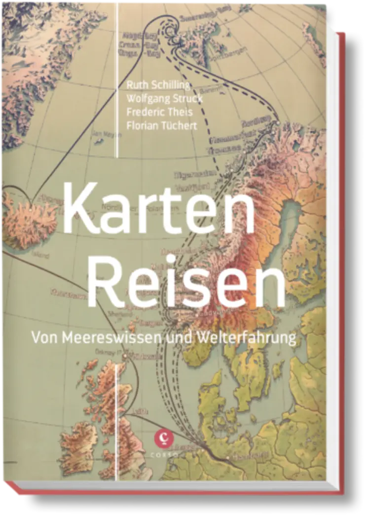
Travellers were seekers, on the seas and on the coasts of the earth. Their maps unfold visions of future adventures on sailing and steam ships, but they also evoke memories of past voyages - actual and imagined. They arrange the things of the sea and its coasts in lines, symbols and sketches and in doing so also make the travelling people on the ships visible. Contemporaries as well as those born later read in maps of inquisitive exploration and dynamic boldness, of longings and fantasies, hardships and triumphs.
In four contributions by Wolfgang Struck, Ruth Schilling, Frederic Theis and Florian Tüchert, the new publication "Karten-Reisen" (Map Journeys) sets out a vivid, multi-perspective narrative of personal and collective travel experiences, to barren polar regions and lush jungle coasts, from antiquity to the early 20th century. The volume invites us to read historical sea and coastal maps as testimonies of passionate expeditions, as credentials of tourist ship passages and as instrumentalities of a new order of knowledge. Supplemented by excerpts of poetic and documentary texts, the book is at the same time a literary journey across the mapped sea and develops a vivid panorama of world travel.
At the same time, the book accompanies the digital exhibition "Karten Wissen Meer: Globalisierung vom Wasser aus" (Maps Knowledge of the Sea: Globalisation from the Water), which will be on display in the digital exhibition portal Gotha from 29 November 2021. There, exhibits from the Perthes Gotha Collection and the map collection of the German Maritime Museum will illustrate how sea and ocean maps became media of globalisation at the turn of the 19th century.

